
Interactive Models, Maps and Simulations
Geoscience you can operate
This section collects models, simulations, and interactive maps. Reading that sea level is rising 3.4 millimeters a year is one thing. Running it out over a century and watching a coastline move is another.
Most of what we know about how the Earth behaves over long spans comes from models. A model is an argument built on assumptions, and those assumptions can be examined. Working one yourself is the fastest way to find out which of them carry the most weight, and which ones barely matter.
Some of these are mine, built for courses I teach. The rest come from NASA, NOAA, the USGS, and university research groups. Each one is listed with notes on how to use it, what question it answers well, and where it stops being reliable.
Deep Time
The scale of the past, and how we measure it
Earth Processes
Plate motion, deformation, and what shapes the surface
Climate & Atmosphere
The systems driving change, and how they interact
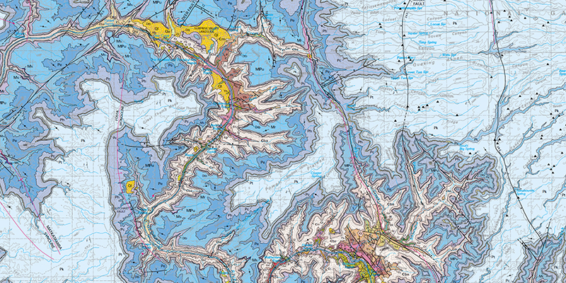
Maps
Interactive geologic and topographic maps from the USGS and others
Testing the Numbers
Tools for asking whether a figure deserves its confidence